Home
RBWMO's Purpose
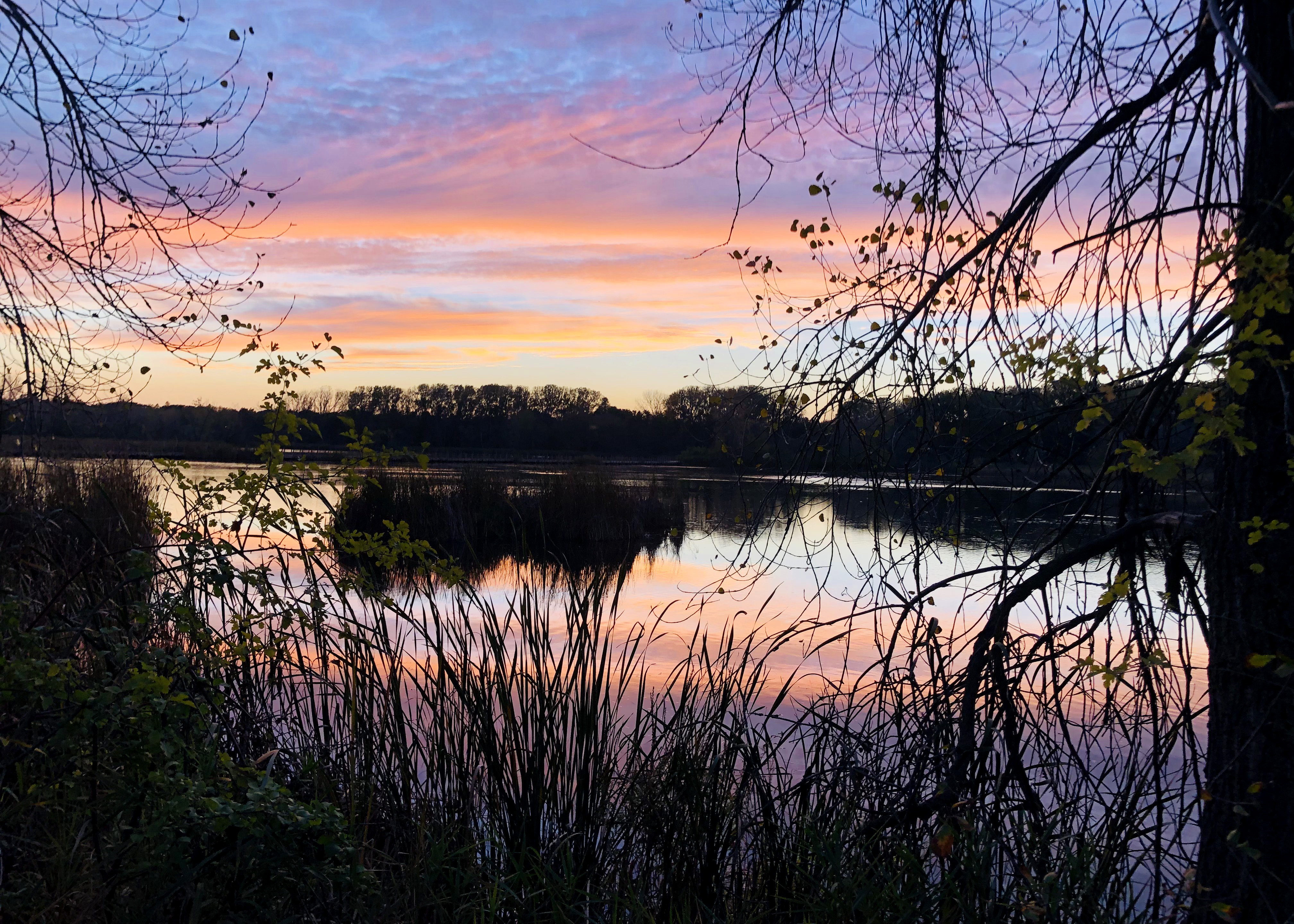
The Richfield-Bloomington Water Management Organization's (RBWMO) purpose is to preserve and use natural water storage and retention systems within the Richfield-Bloomington Watershed to meet the purposes set forth in the Metropolitan Surface Water Management Act.
Native Landscaping Grants and Resources
As you prepare your yard, plan your gardens, and get new plants this spring, don’t forget to plant for clean water and pollinators! Native plants in yards have many benefits like supporting pollinators and native ecosystems, being resilient during flooding and drought, enhancing soil health, providing food for wildlife, and stabilizing land to reduce erosion, just to name a few! Interested in installing a rain garden or native planting on your property? Check out these opportunities and resources!
- Spring 2024 native plant sales
- Lawns to Legumes grant for creating pollinator habitat
- Workshops and online events from Blue Thumb
- Online plant finder
Activity Spotlight
The RBWMO is proud to partner with the West Metro Water Alliance (WMWA) to protect our water resources and provide public education. Check out the WMWA website for great resources for educators, volunteers, and residents!
Want to help protect our water resources? Consider signing up to adopt-a-drain! Storm drains lead directly to surface waters, so keeping them clean and free of pollution and debris is a simple and effective way to protect the environment. In 2022, participants in the adopt-a-drain program cleaned up over 1000 lbs of debris from 212 drains in the RBWMO!
![]()
Each winter thousands of tons of salt are applied to roadways in Minnesota to manage snow and ice, but this can have harmful effects on our water resources. It only takes 1 teaspoon of salt to pollute 5 gallons of water permanently, producing a salt concentration that can be toxic to freshwater ecosystems. The RBWMO is working to minimize the impact of road salt application on our water resources.
For additional information and resources please visit the MPCA website or contact RBWMO staff with questions or concerns.
The RBWMO conducts routine water quality monitoring of surface waters within its borders. The City of Richfield's most recent Water Quality Monitoring Reports can be found under Resources.
For information about past RBWMO activities, please visit the projects page.
Management Plan Update
The RBWMO board adopted the updated Comprehensive Watershed Management Plan at the March 5, 2018 Annual Meeting.
Click HERE to view the adopted Plan.
Annual Meeting
The 2024 annual meeting is scheduled for April 2nd, 2024, 6:00 PM at Bloomington Civic Plaza, 1800 W Old Shakopee Rd, Bloomington, MN 55431.
Click here to view the 2024 Annual Meeting Packet.
For more past meeting dates, agendas, and minutes, see the Meetings and Workshops page.
2023 Annual Report
Click here to view the RBWMO's 2023 Annual Report